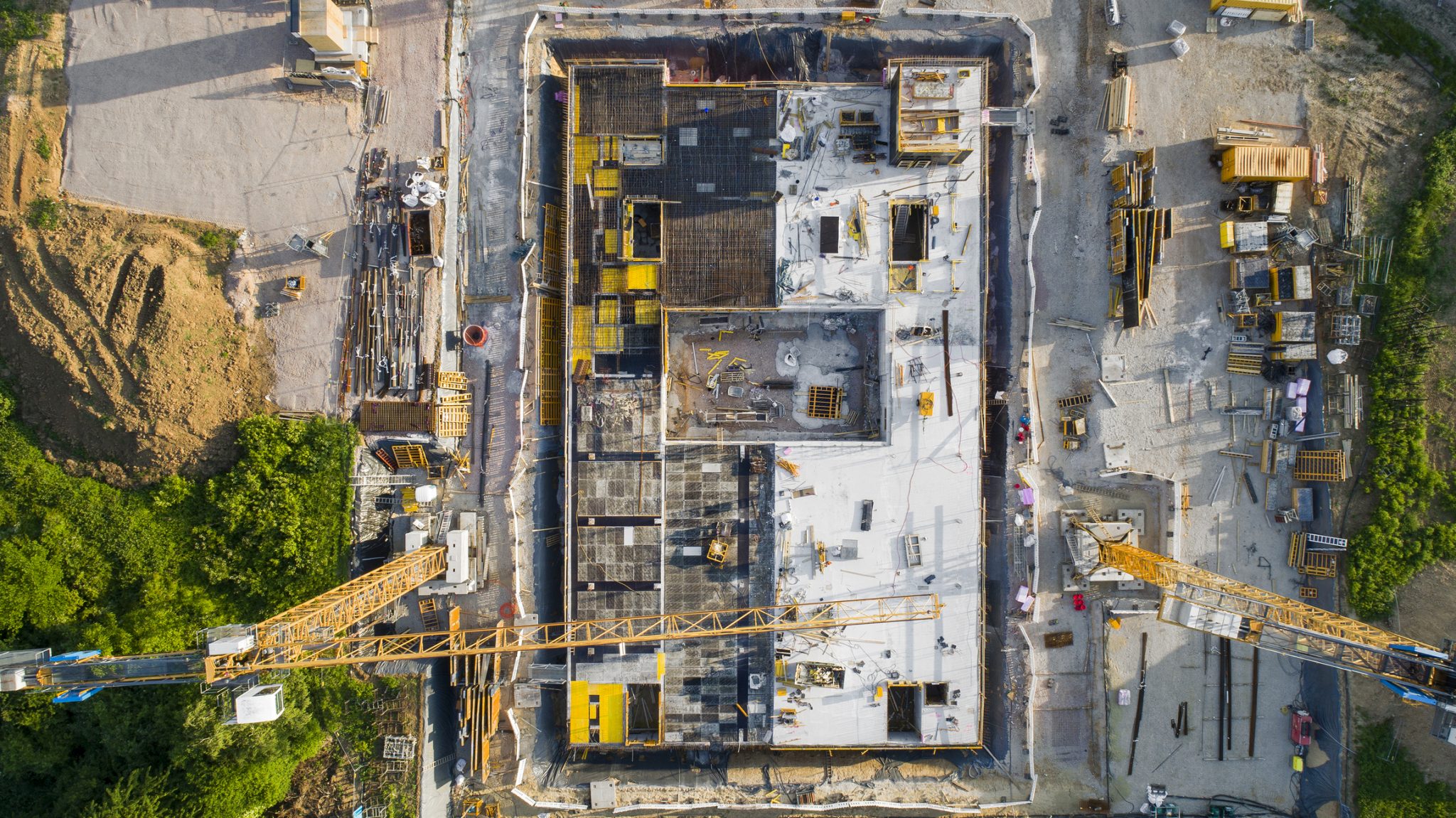
The U.S. Director of National Intelligence’s Intelligence Advanced Research Projects Activity (IARPA) office has issued a draft grant offer for the development of a system that can detect construction activity worldwide. The announcement is part of the agency’s Space-based Machine Automated Recognition Technique (SMART) program.
The new machine learning technology must have broad-area search functionality that will allow for the monitoring of large, global construction projects. The system, according to an analysis of the draft request by Nextgov, must also be able to merge photos from U.S., foreign and commercial satellites and reconcile them with archived data, weather patterns and environmental factors. The tech must also be able to process images from drones and other aircraft.
The purpose of the system will be to develop “easy-to-implement” tools to help the agency’s overtasked human staff “efficiently analyze, assess and utilize big data.” IARPA officials will be taking suggestions and questions about the grant project until May 10 and then will issue a formal funding offer. Once a developer is identified, the project should take four years to complete.
Dive Insight:
Aerial images play a big role in IARPA’s plans, as they do in the management of construction projects. Contractors and project managers have always used photographs to record the progress of a job and to memorialize aspects of the structure as part of a project’s official documentation or simply for posterity’s sake. Technology, however, has made it easier to do that and has given construction companies more options for using those images.
Last month, construction image company TrueLook announced that it had integrated its live camera capabilities with Autodesk’s construction management platform, BIM 360. Users can now add a TrueLook camera view to their BIM 360 dashboards and see live and historical images via time-lapse and high-definition security recordings. This allows managers to view current and past conditions on their projects at any time and also gives those unfamiliar with modeling images a chance to see the project in a way they can better understand.
But sometimes all that data stresses standard computing systems and requires an innovative solution to keep information flowing according to the shorter timelines that contractors expect.
Engineering and environmental consulting firm Dudek offers mapping, inspection and construction project monitoring and has a relatively new in-house drone division that provides imagery services to contractors. However, processing an increasing volume of data for its largest customers could take up to five days. The company turned to the Workspot Workstation Cloud on Microsoft Azure, which allowed Dudek to use the cloud to achieve higher processing speeds of just a few hours without having to invest thousands of dollars in new hardware.
Source: Construction Dive


